
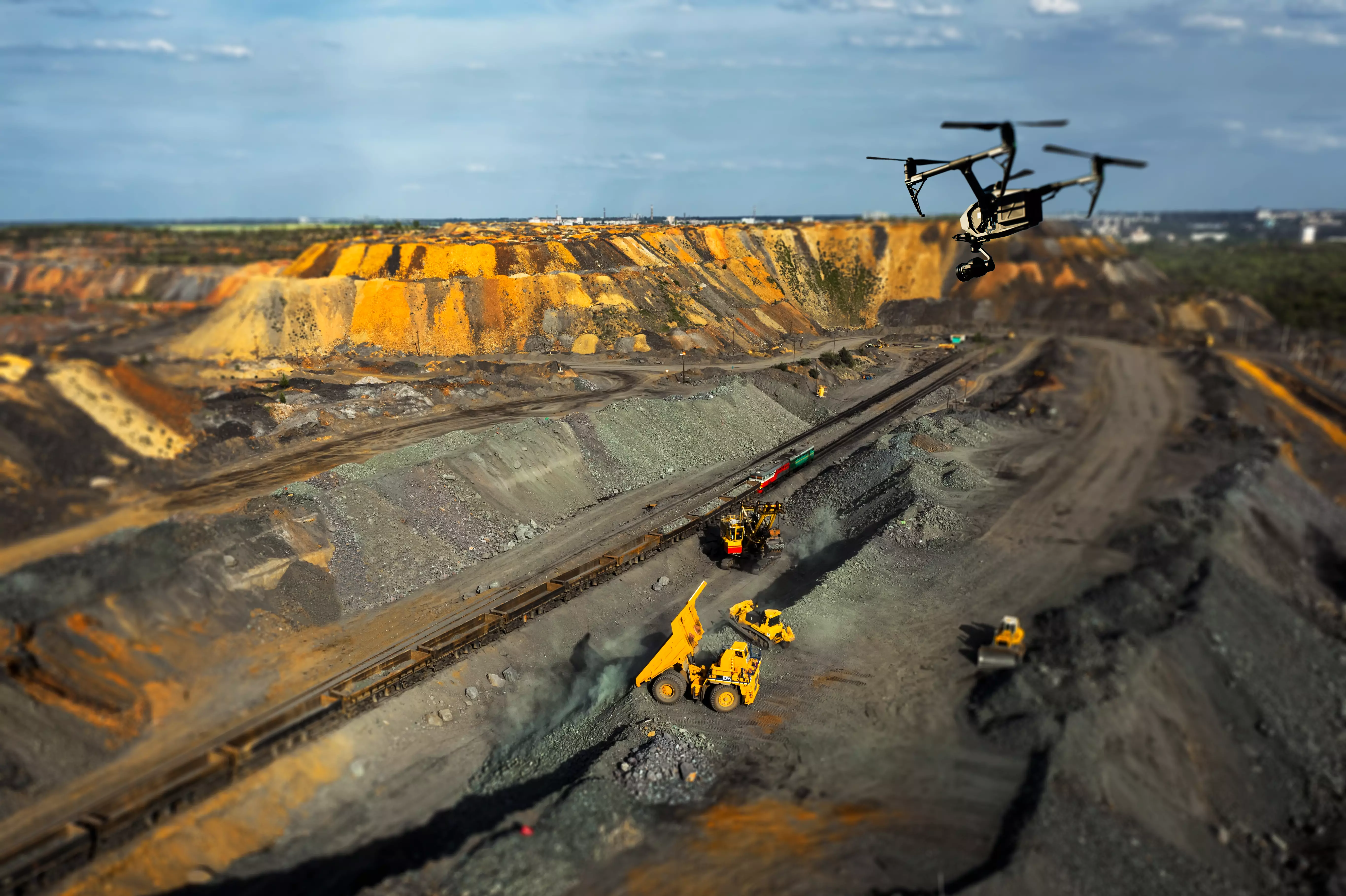
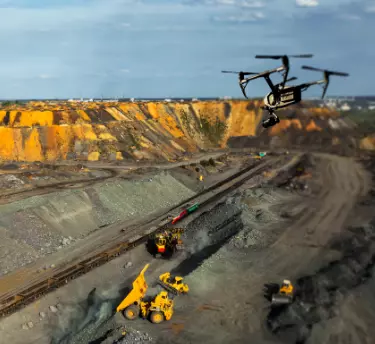
Automated Drone Mining Software for Miners

Mine Mapper is a 3D mining software solutions that helps to map the aerial data collected by the drones employed in the different sites.

Our mining drone analysis software aims to streamline operations, improve safety, and increase efficiency.

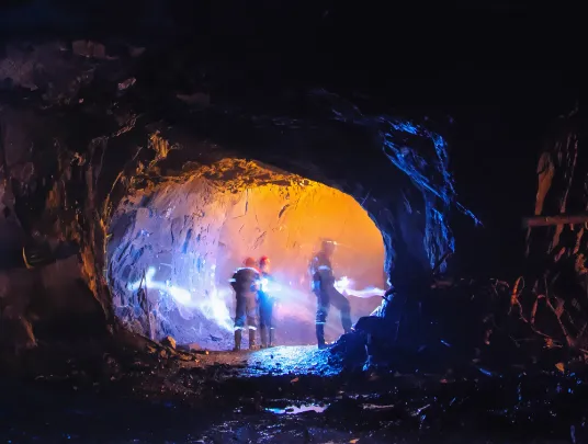
With our mining software in place, companies no longer need to go for manual inspections in some of the most hazardous areas.

It collects all the critical data while cutting down on the human resources & time needed significantly.
Drone Mining Applications Include:-

Time-Lapse Photography
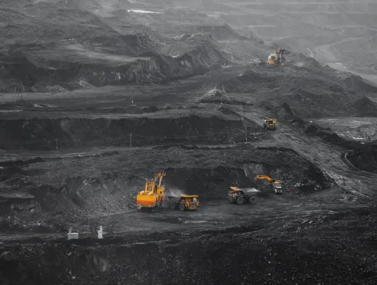
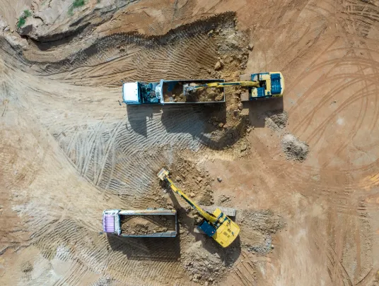
Tracking Equipment

Monitoring Stockpile Volumes

Surveying Mines

Exploring for Minerals
What Our Drone Quarry Mapping Software Help You With?

End-of-Month Reconciliation & Stockpile Volumes

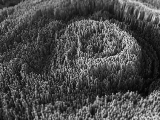
Complete Terrain Mapping

Asset Management & Scheduling

Security & Surveillance

Infrastructure & Equipment Inspection

Emergency Response

Got any questions regarding our Mine Mapper? We’re here to answer!
Improved Efficiency and Accurate Data
- Miners can obtain maximum ROI out of their drone operations with Mine Mapper, our drone mining software.
- It streamlines the workflow and reduces costs, boosting efficiency and establishing efficient collaboration.
- Our mining drone analysis software provides an intuitive dashboard that can be accessed from your web browser while being anywhere.
- All that you require is internet connectivity and a gadget to access it remotely.
- You can keep an eye on the stockpile volumes in real-time, along with road grades, and track the design's progress in no time.
Reliable Ground Control
- Mine mapper can measure your volumes in seconds.
- You don’t require sending someone to walk a mile.
- This will reduce your workload and provide you with better estimates on the inventory.
- The complete drone survey report can be produced in just a few hours, which took days earlier.
Track Progress Against Design
- With our drone quarry mapping software, you can easily upload design surfaces to track the mining site survey through 3D visuals.
- It quickly surveys the site to get valuable insights.
- Your staff can effectively spot all the non-conformance issues before leading to big troubles.
Mine Planning and Excavation
- Cut downtime by efficiently managing logistics & reporting progress.
- Easily visualize and compare the differing site conditions to plan the estimated production or measure blast efficiency effectively.
- With our 3d mining software solutions, tracking the excavation progress and maintaining the production schedule is a lot easier.
- Hauling logistics becomes efficient through visualizing and measuring routes.
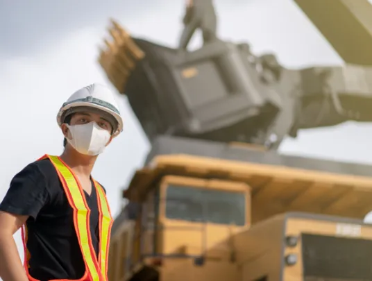
Safety & Compliance
- Ensure the highest safety standards for your on-site staff with Mine Mapper.
- It can help you inspect the infrastructure and equipment quickly and efficiently.
- Our drone survey equipment and the data collected allow miners to adhere to government regulations.

Wondering what Mine Mapper can do for you? Ask us!
Dummy div
Social Media
Follow us on social media to find out the latest updates on our progress


