
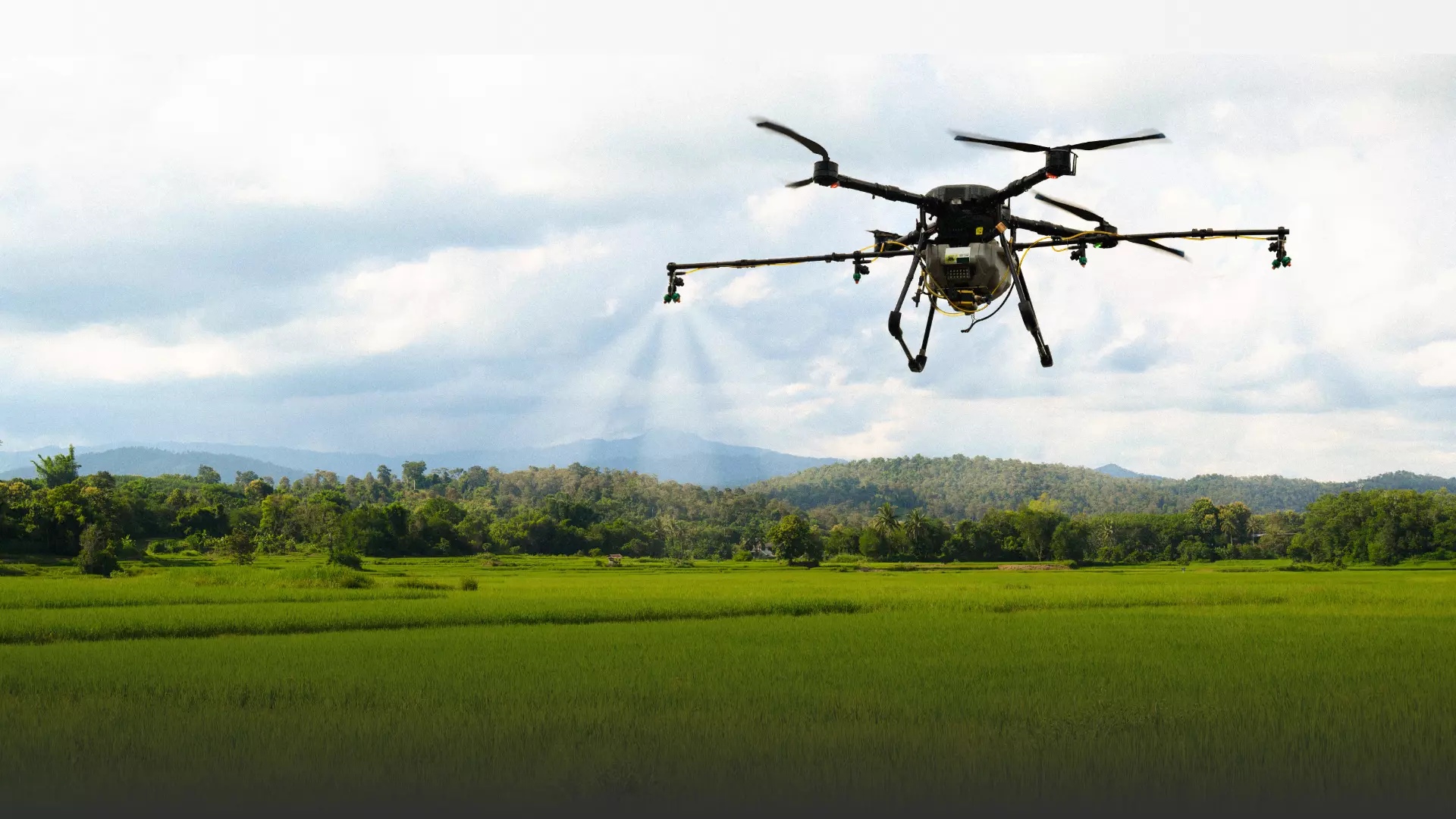
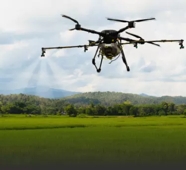
Agricultural Drone Software for Professionals
Kickstart smart precision farming with Fly & Tag’s agriculture software and drone solutions.
Agricultural Drone Software for Professionals
Kickstart smart precision farming with Fly & Tag’s agriculture software and drone solutions.
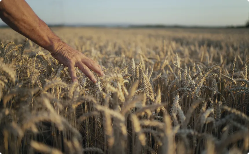
With the increase in precision agriculture solutions, the use of drones in agriculture has significantly escalated. AGPlus is an advanced agriculture drone designed with the aim to help farmers get field insights throughout the year. Our drone technology in agriculture helps collect data through field mapping agriculture. With our drone applications in agriculture, we are transforming the way farmers sow, reap, and manage their farms.

Get in-depth insights into livestock and farming assets with precise & consistent data.

Notice improvement in crop yields with minimal effort.

Significant reduction in measuring costs. Make the farmland scalable & repeatable.

Establish time-efficient operations for better decision-making.
Features of Agricultural Drone Software:
The AGPlus drone for agriculture dashboard is user-friendly and does not require any technical knowledge to use its various features and functionalities. You will get all the information you need in one place with ease.
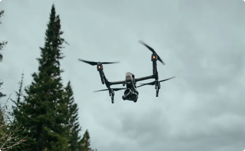
Get Instant Insights With Aerial Drone Solutions
Right from keeping track of the growth trends to identifying the early predictors of the yield and evaluating the farm's zonal efficiency, our aerial drone solutions do it all.
Designed specifically to meet the changing needs of farmers, AGPlus features a wide range of uses of drones in agriculture.
- It can generate precise agricultural production maps.
- Conduct drone-assisted crop monitoring.
- Even do drone crop surveys to help make informed decisions.
- AGPlus can also export reports and limit the reporting based on the zones within the farm.
- The reports can be shared in different formats with farmhands, crop insurers, agronomists, and buyers.

Curious to learn more about AGPlus drone applications in agriculture or got any questions? Get in touch!
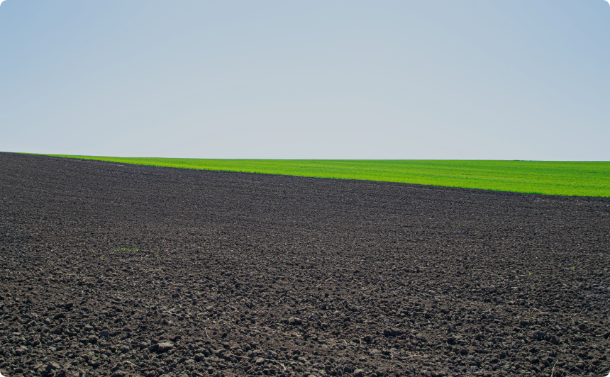
Complete Agricultural Drone Mapping Analysis
Before Sowing
- Access the water conditions in the fields in real-time.
- Determine the areas where the drainage management system needs to be improved.
- Understand the health of the soil.
During the Growing Season
- Determine plant health and plant growth.
- Identify the resistant weeds.
- Inventory plant size & its count.
- Adjust nitrogen filtration.
- Optimize the water usage by keeping a close eye on the drought's stress.
- Predict the optimal harvesting time.
- Rapidly access the storm damage.
Beyond the Crops
- AGPlus can help you quickly count the total trees, damaged trees, and estimate tree age.
- You can also discover the fence damage, road degradation, and roofing problems.

With AGPlus, you don’t only just collect field data but also receive actionable insights. And that too, at competitive prices!
submitted
Dummy div
Social Media
Follow us on social media to find out the latest updates on our progress


