
Robust Drone Operation Solutions
Right from agriculture to construction to mining, Fly & Tag’s drone deployment helps perform faster, better and make data-informed business decisions. Through in-depth analysis & digital maps, it empowers site members with accurate, real-time insights. It is easy to process, analyze and report data with the drone app.

Our cloud-based remote control flying drone solution captures and processes data to create insight-rich 2D maps & 3D models.

You don’t require investing in any in-house hardware. You can upload hundreds of images all at once without the requirement of specialized software or hardware and simultaneously process maps with precision.

Fly & Tag Ops drone operation also enables you to generate reports as per the survey standards.

The cloud data can be accessed anywhere globally; all that’s needed is internet connectivity and a device to browse through it.
2D Maps, 3D Models, Photos & Videos
With the drone aerial ops mapping software, we have integrated a range of analytics capabilities, spanning from the stockpile to earthworks and thermal analysis inspections. The off-site digital reports allow you to resolve the issues without the need to visit the worksite. From a startup to an SME to big brands, we offer customized drone deployment solutions, helping our clients meet their business needs and prospects. Our drone mapping software can integrate with most document and management applications to provide drone data and shareable insights. It translates photos into interactive 2D maps and 3D models, which can be measured.

If you have any questions or queries regarding the Fly & Tag Ops, connect with our team right away.
Industrial Applications of Fly& Tag Drone Operations
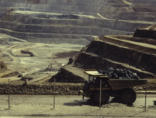
Survey & Mining Sector
- Our drone surveying solution provides the autonomous coverage of big sites while maintaining the highest-survey standards for data accuracy.
- You can identify and measure the stockpiles automatically, share quick site insights and updates with the stakeholders, and do a lot more.
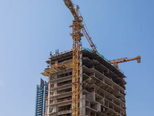
Construction Sector
- With Fly & Tag’s drones for construction, you can gather quality data and even access it remotely.
- The site-specific measurement tools provided by our drone surveying software helps you make the right decisions.
- You can even keep the shareholders informed on all the different levels.
Oil & Gas Sector
- The inspection costs & time can be reduced by equipment inventory and monitoring infrastructure with high-accuracy drone data capture.
- With our 2D & 3D mapping drone solutions, you can improve on-site safety.

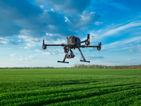
Agriculture Sector
- The agricultural drones can help inspect the field, crops, weather, and more to yield better results.
- It streamlines the whole scouting process through analytics targeting, catch pest, disease & equipment interference in every phase.

Keen to know more about our drone inspection and drone operation capabilities? We can help.
Dummy div
Social Media
Follow us on social media to find out the latest updates on our progress


